Cold War Cartography
in Guatemala
A research project analysing the history and memory of cartographic knowledge and technologies during the Cold War in Latin America, with a focus on Guatemala.
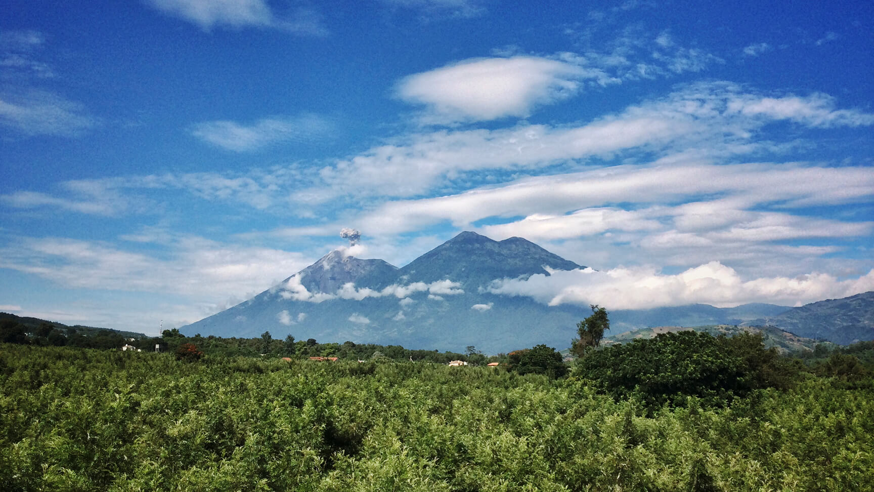
The Cold War in Latin America unfolded across diverse landscapes. To fully grasp these events, we must understand how the places of the Cold War were known, imagined, and lived over time.
The Latin American Cold War was a profoundly spatial and territorial project. It involved struggles for regional sovereignty that spanned hemispheric, national, regional, and municipal scales. Geographical knowledge was fundamental at every stage: from efforts to build viable nation-states through grand development schemes, to guerrilla strategies and scorched-earth counterinsurgency campaigns.
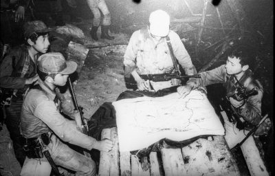
Precise maps—created using geodetic data, topographic surveys, aerial photography, and satellite imagery—were essential for military and state forces. Conversely, guerrillas often relied on a combination of state-produced maps and local Indigenous knowledge. Their ‘mobile landscapes’ contrasted with the state’s efforts to delimit and fix locations, allowing them to evade state surveillance.
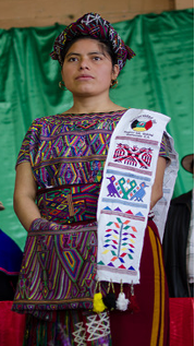
Through deep collaboration with Ixil Ancestral Authorities, Indigenous researchers, and academic partners, this project analyses the role of knowledge creation and the deployment of geographical technologies in political violence and resource extraction during the Cold War. The research is grounded in oral histories and archival investigation.
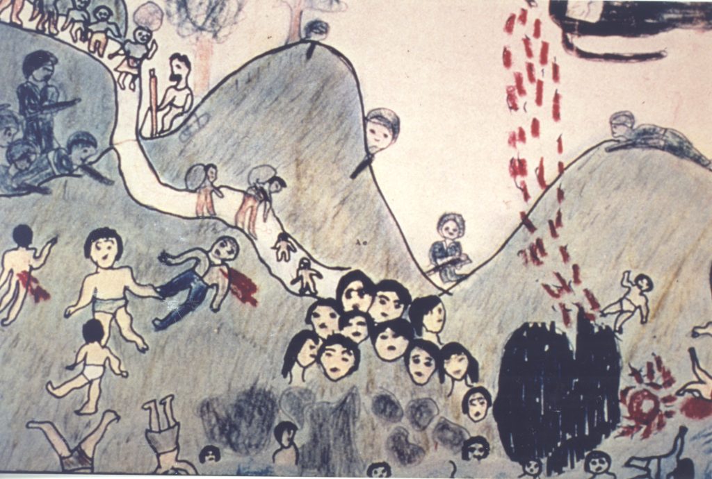
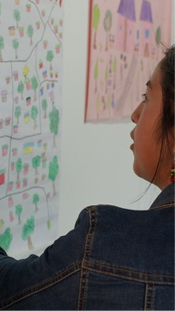
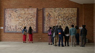
Memory maps
View hand-drawn memory maps created by the team of Ixil researchers and listen to them explain the events depicted and the meanings they hold.
Find out more >Digital archive
Explore key archival documents, historical photographs, maps, and videos describing our research project and its findings.
Explore >GIS map
Explore a time-lapse visualisation showing the geographical overlap between sites of political violence and megaprojects in Guatemala’s Northern Transversal Strip (Franja Transversal del Norte).
Find out more >Hand-drawn maps based on Ixil memories of the colonisation and dispossession of Indigenous territory during the Latin
American Cold War.
View all Maps