Memory maps
Hand-drawn maps based on Ixil memories of the colonisation and dispossession of Indigenous territory during the Latin American Cold War.
The Komon Sajb’ichil project seeks to create alternative visual representations of the Ixil region.
Our intention is to counter the violence of the abstract map and its lasting effects through maps imbued with history, meaning, and a multiplicity of social worlds.
Memory maps
1
Ilom Map
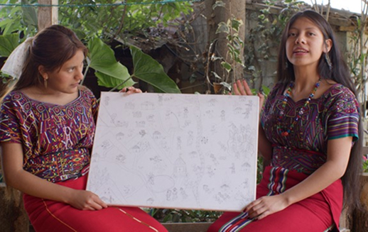
This map examines the history of the Ilom region, one of the original Ixil communities, currently surrounded by coffee plantations. Created by Xhiv Koot Ceot and Catarina Raymundo.
View map >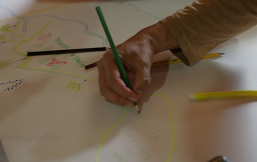
2
Nebaj Map
Analyses the history of Nebaj, one of the three municipalities in the Ixil region. Created by Alan López and Cristina Soliz.
View map >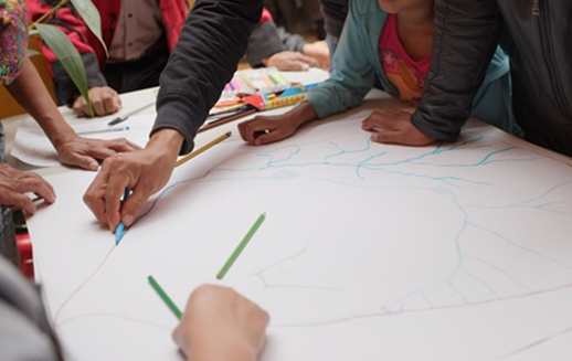
3
Chajul Map
Focuses on the history of Chajul, one of the Ixil municipalities. Created by Sergio Vi and Andrés Brito.
View map >The Ixil region, located in the Department of El Quiché, was the epicentre of the genocide during the Guatemalan Civil War (1960–1996). The Ixil Maya, who constitute the majority of the population, formed one of the main support bases for armed revolutionaries.
In response, the Guatemalan army unleashed unimaginable violence which, according to the UN Historical Clarification Commission, included at least 114 state-sponsored massacres in the region. The army redrew municipal boundaries, usurped communal territories, planned hydroelectric dams and mines, scorched the land, and reconfigured communities into military-run “model villages”.
At the same time, many Ixil people participated in the war as guerrillas, communities in resistance, soldiers, and civil patrols, utilising their knowledge of local territories. The geographical dimension of the war had significant consequences for the Ixil; displacement from their lands, where their ancestors remain, implied a cruel separation from their spiritual and sacred places.
This separation between the physical and spiritual dimensions of family life exacerbated the sociocultural, psychological, and physical trauma of the war. Aiming to recover Ixil histories and memories of the places where the war was fought, this project recognises intergenerational knowledge and transmission as key to healing and community justice.
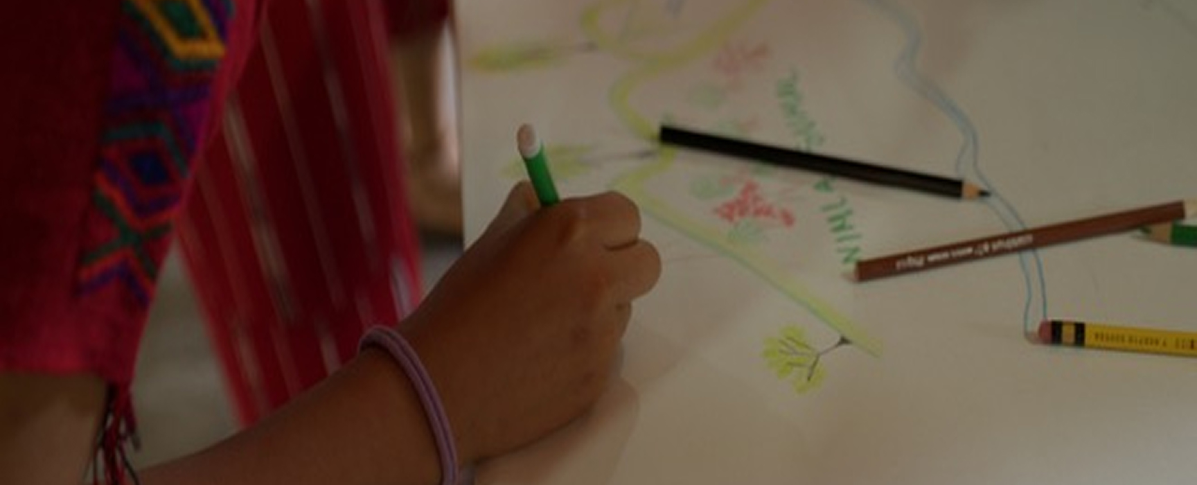
Memory maps emerged as a research method based on a collaborative process of knowledge exchange, reflection, and collective learning regarding the history of state cartography and the local mapping practices and technologies of the Ixil peoples.
Ixil researchers drew inspiration from the Lienzo de Quauhquechollan. However, unlike that colonial document which narrates the conquest, these maps fuse oral history, memory, and geography to recount the multiple political trajectories and resistance of the Ixil territory: from the invasion and the 19th-century expansion of coffee plantations, to the genocide of the 1980s and the current wave of extractivism.
To create the maps, researchers conducted oral history interviews and transformed them into iconic narratives representative of the region. Like any act of narrating and representing the past, these maps involve selection, synthesis, and analysis. They are partial visualisations, deeply rooted in the living memory of the community.
This is particularly significant in the post-war context, as sacred signs, associations, and histories have been severely altered and manipulated through prolonged experiences of scorched earth, exile, and megaprojects.