Cold War Cartographies
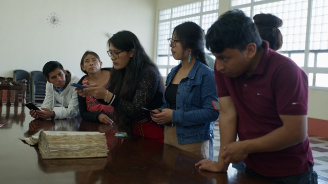
This project combines oral history and archival research, coining the concept of ‘geo-epistemology’ of the world to understand the history of cartographic knowledge and technologies. Geo-epistemology invites us to reflect not only on what we know about the land and geography, but how we produce that knowledge and what we use it for.
We analyse diverse technologies of territorial knowledge, including: 1) aerial photography and remote sensing, 2) radio-navigation (early GPS), 3) field studies and topographic surveys, and 4) artistic and traditional Indigenous forms of understanding space.
By tracing the development of these technologies during the Cold War and their application in Latin American military contexts, this research examines whether such technologies produced new ways of understanding territory and sovereignty. It investigates whether they affected Indigenous territorial dynamics, as well as their role in political violence and megaprojects in the region.
Considering these diverse geographical technologies, the project argues that history creates relations in space and that those spatial relations, in turn, generate history. The Cold War in Latin America allows for an analysis that illuminates political and ideological struggles in continuity and motion across time and space.
This project combines approaches from social history, sociocultural anthropology, and critical geography to conceptualise change as a place-centred process. We use four main methodologies: close reading of archives, oral histories, historical GIS, and art exhibition.