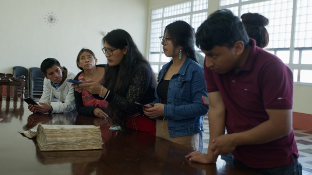
GIS Map.
This GIS map represents, via a time-lapse, the geographical superposition of sites of political violence and development megaprojects in a strategic region of Guatemala: specifically, the Northern Transversal Strip (Franja Transversal del Norte). The region spans the departments of Huehuetenango, Quiché, Alta Verapaz, and Izabal, covering an area of approximately 15,750 km².
During the Guatemalan Cold War, this zone was the epicentre of major extractive projects, including hydroelectric dams, oil and nickel mines, and a major highway connecting these projects to Puerto Santo Tomás in the department of Izabal. Consequently, it was also the setting for some of the most severe episodes of state terror in the country.
This map is based on research in previously underexplored archives, including the National Geographic Institute, the Ministry of Energy and Mines, the National Institute of Electrification, and the Institute for Agrarian Transformation.
Dr Adriana Linares Palma translated historical data from archival records and maps into datasets represented on a GIS map using GPS reference points. She created this historical GIS map, which overlays the locations of state-sponsored massacres, as well as mining, oil, and hydroelectric concessions in the Northern Transversal Strip.
This map reveals the historical relationship between state violence and what Indigenous authorities in the Ixil region term the “(fourth) invasion” of extractive projects. The historical GIS offers a visual narrative of past events and processes, allowing for the identification of connections and patterns that would not be achievable through the simple publication of textual archival elements.