Art Exhibit.
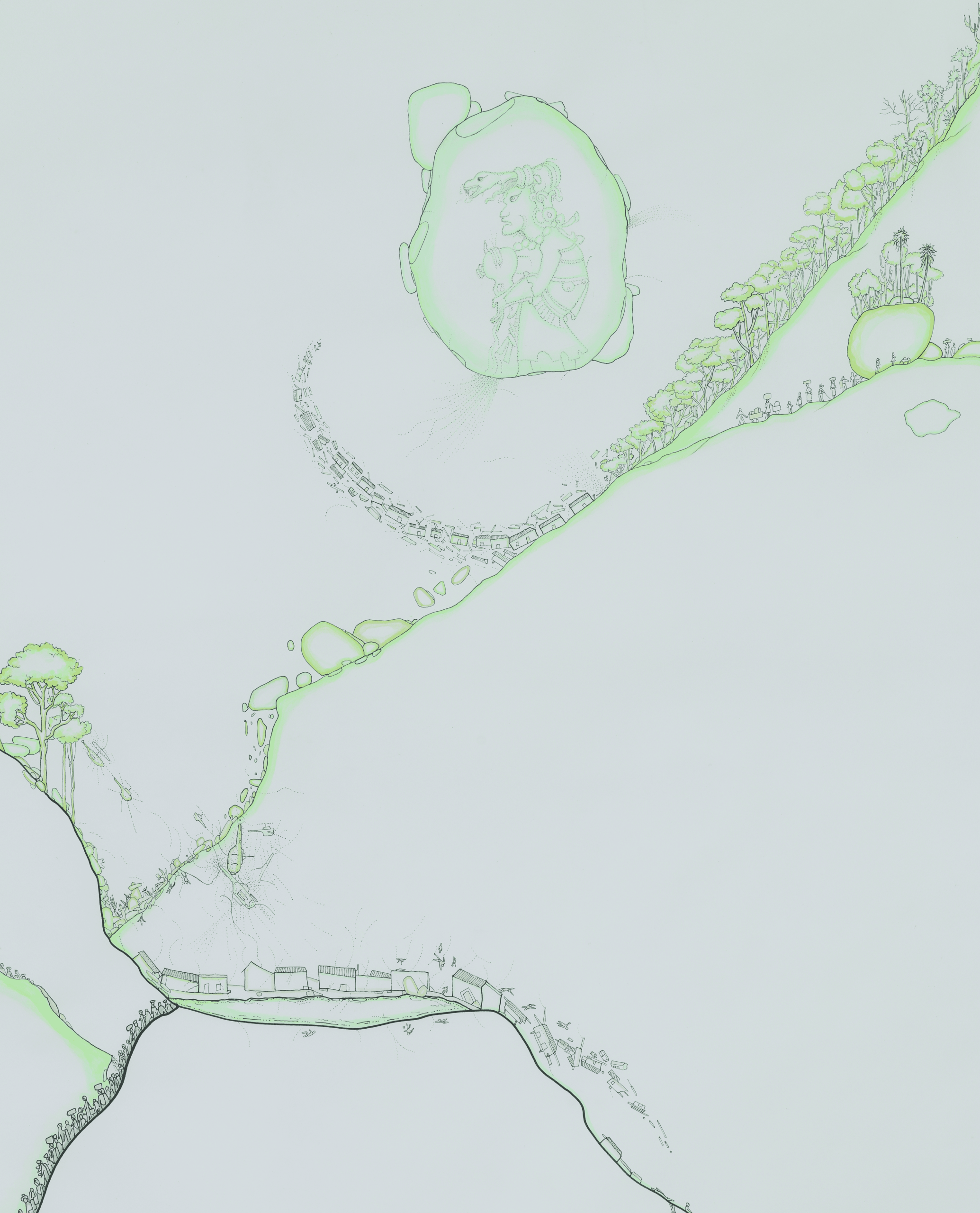
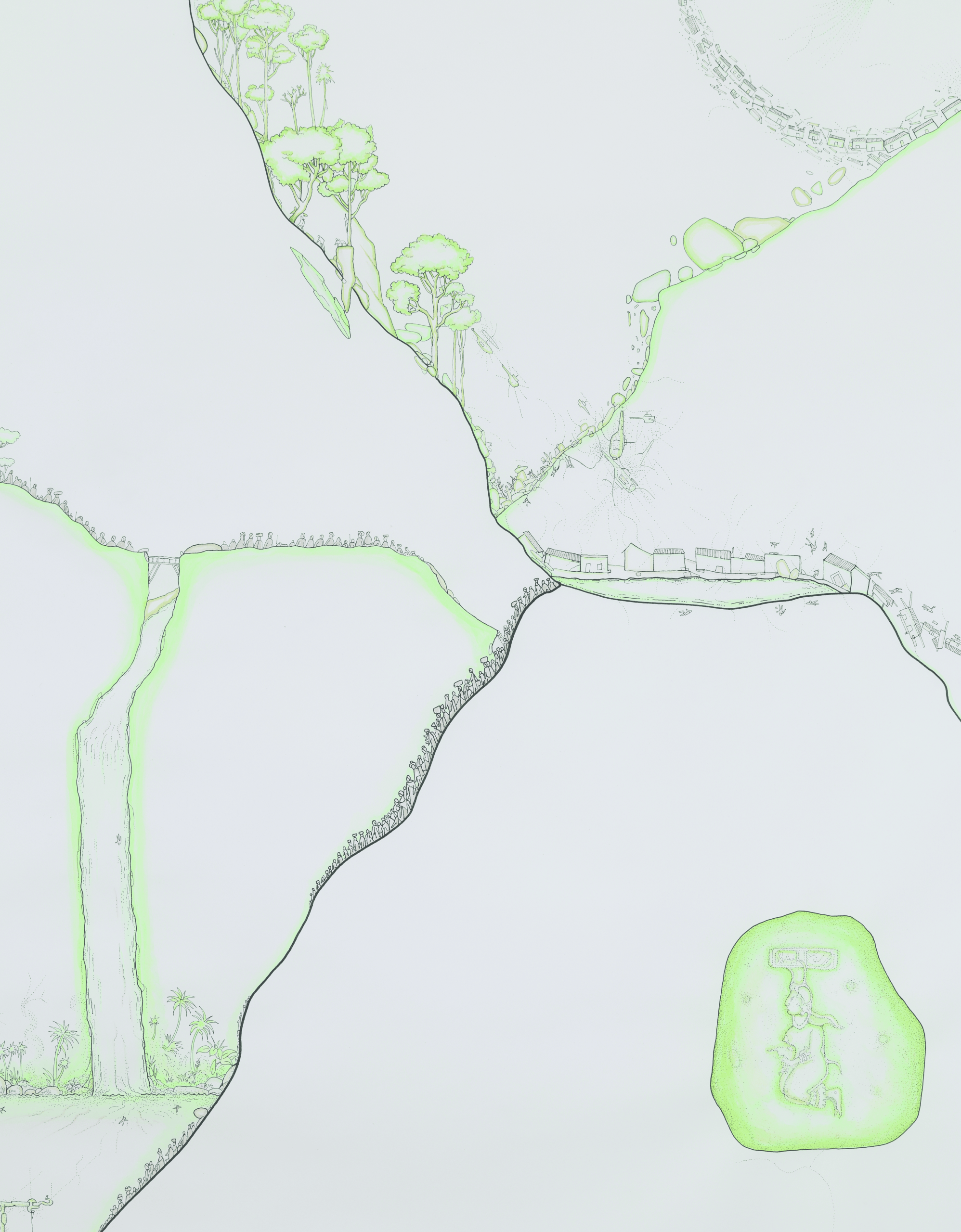
The collective exhibition Cartographic Traces references the duality and complexity of the maps and plans used during the Cold War in Guatemala. The exhibition explores the visual, geopolitical, and symbolic discourses that shaped—in both real and imagined ways—the Guatemalan territory during one of the most turbulent periods in its history.
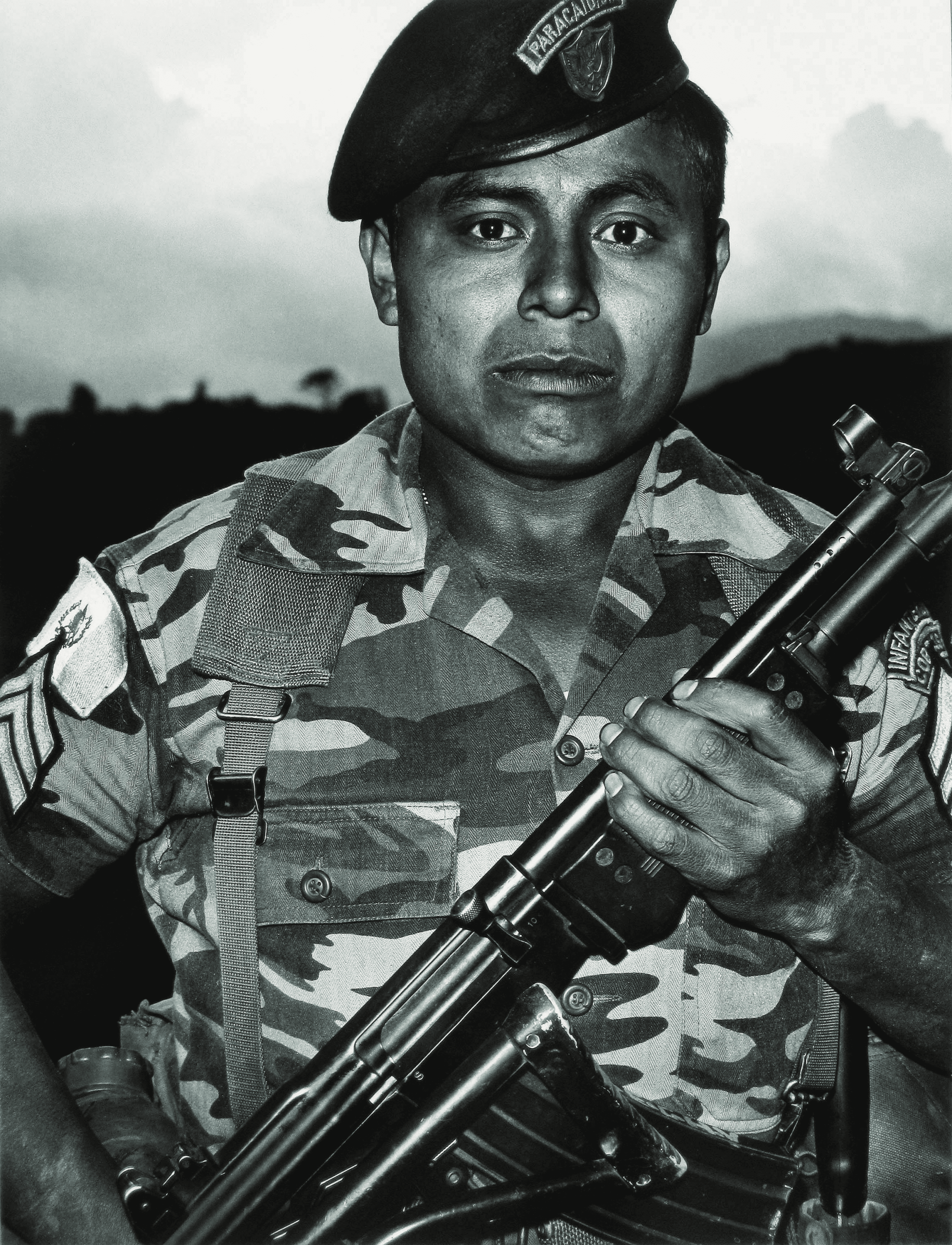
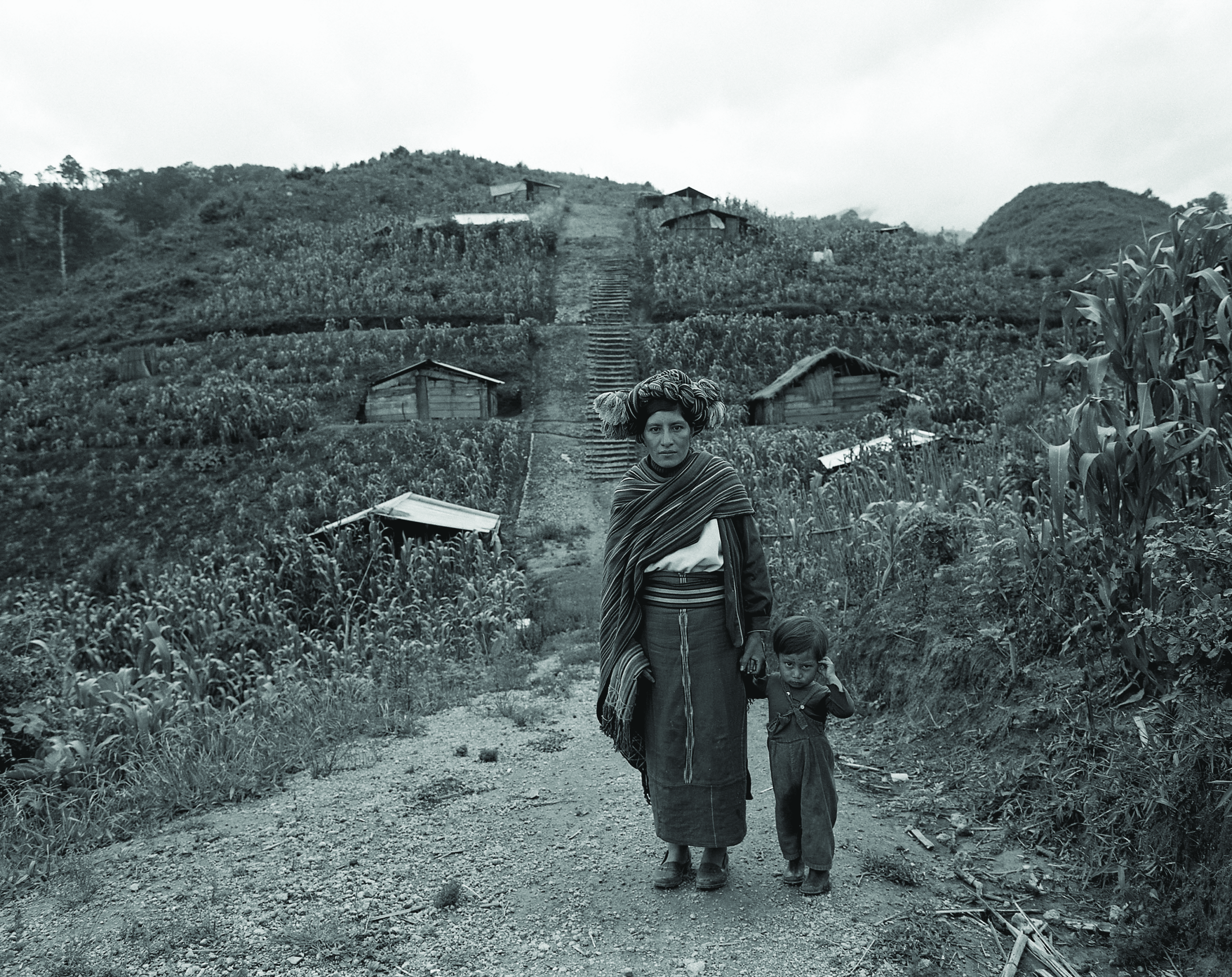
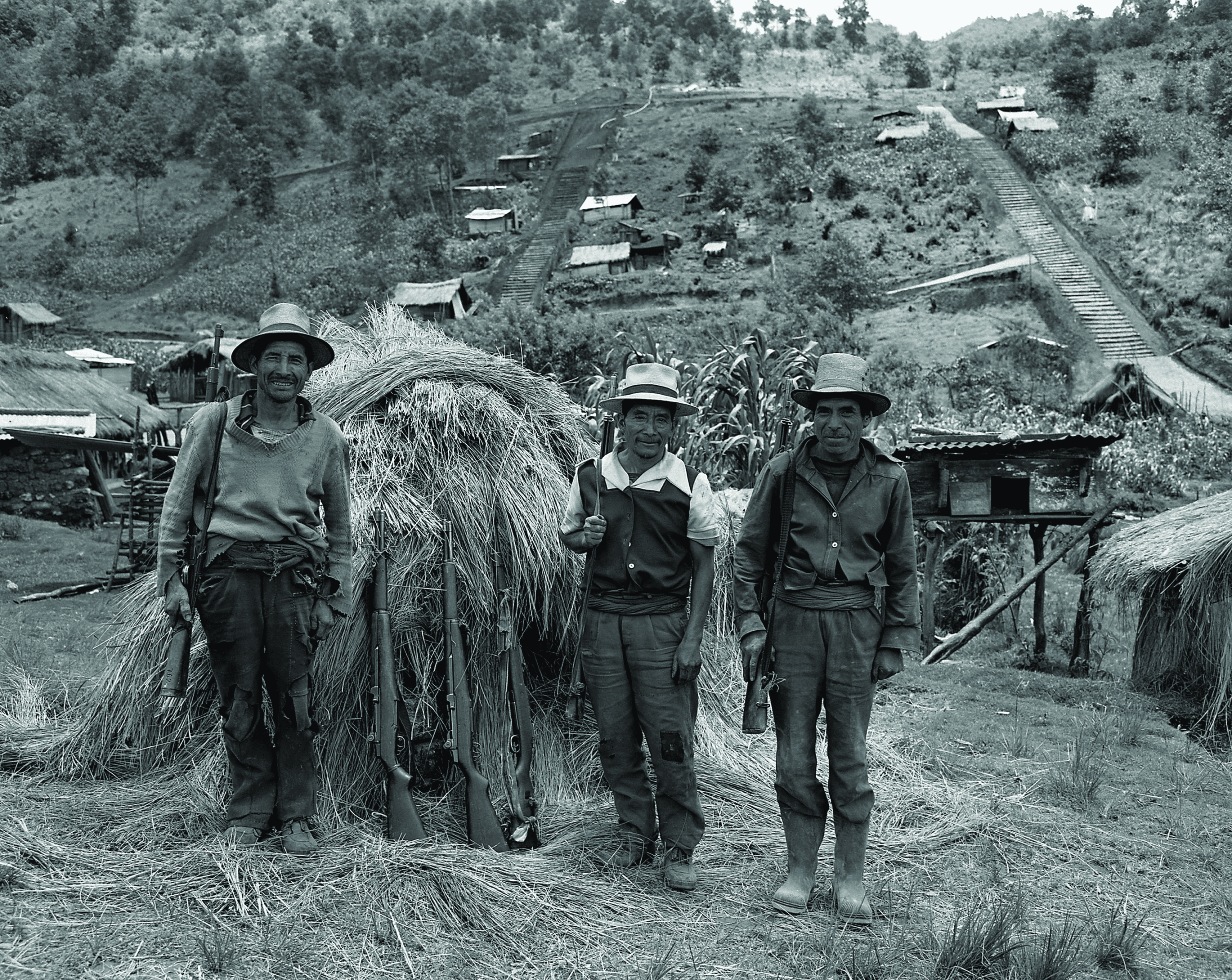
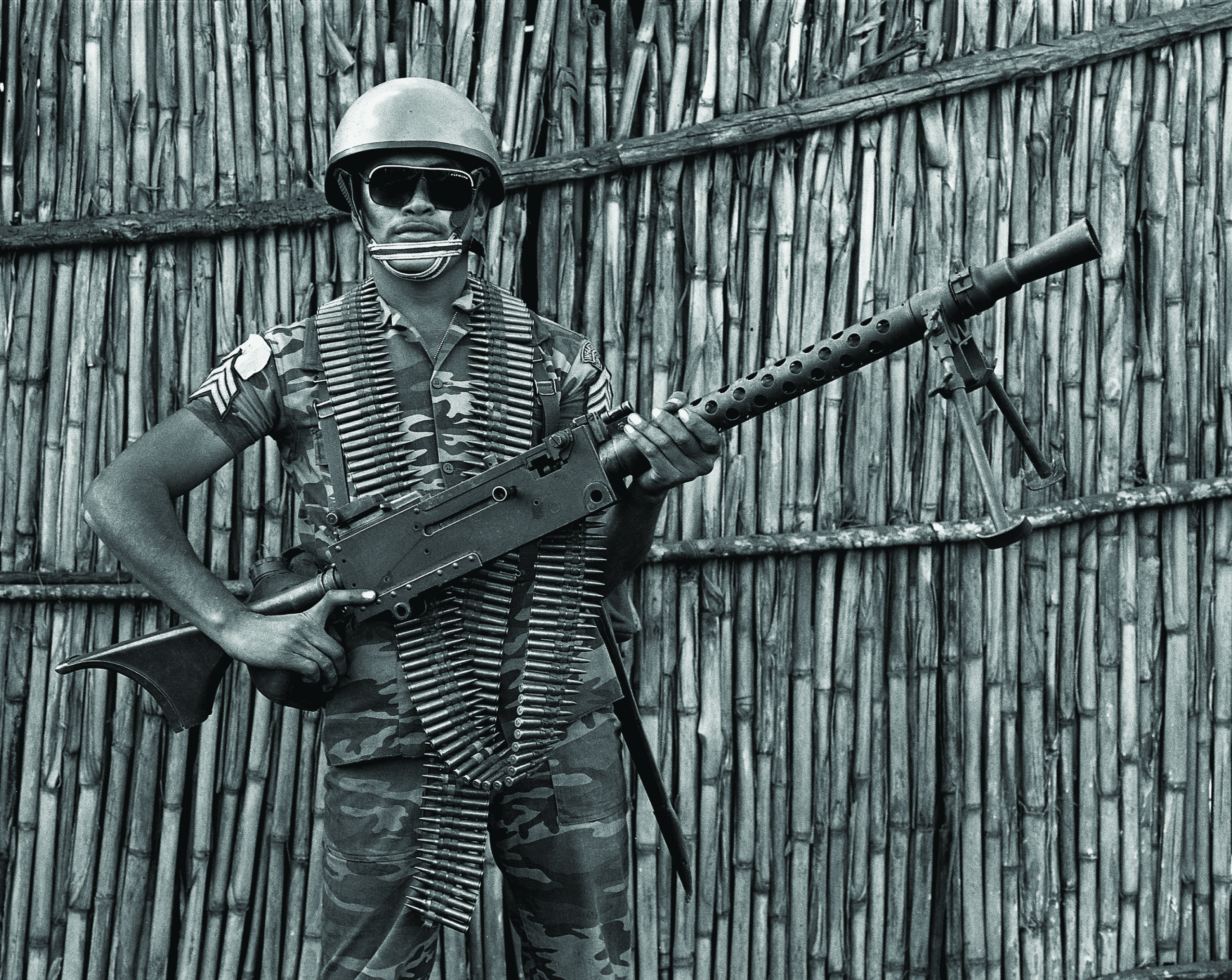
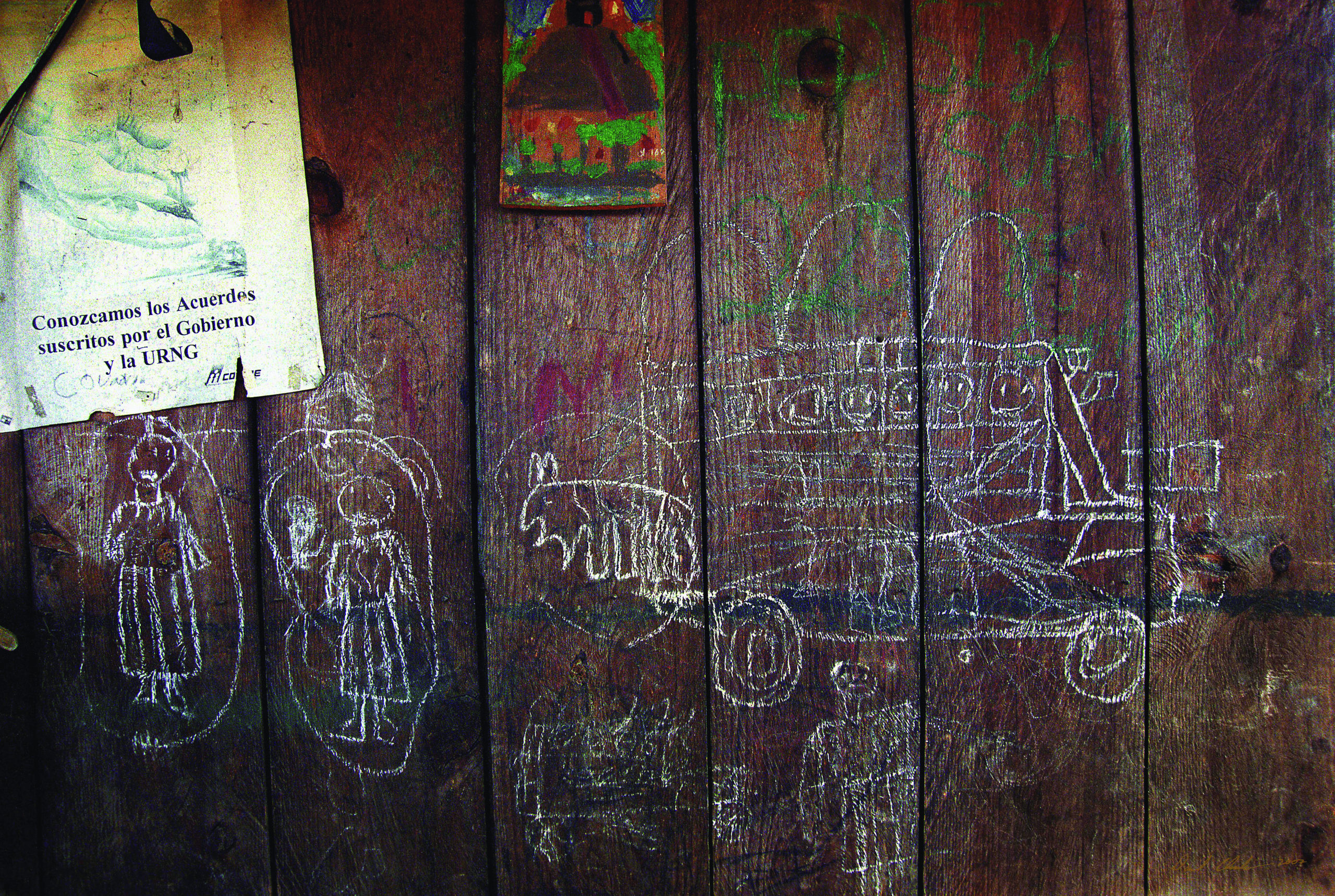
Efforts to build strategic geographical knowledge peaked in the early 1980s, as the Guatemalan army sought to control the countryside through map management, the construction of model villages, and civil patrols, among other campaigns.
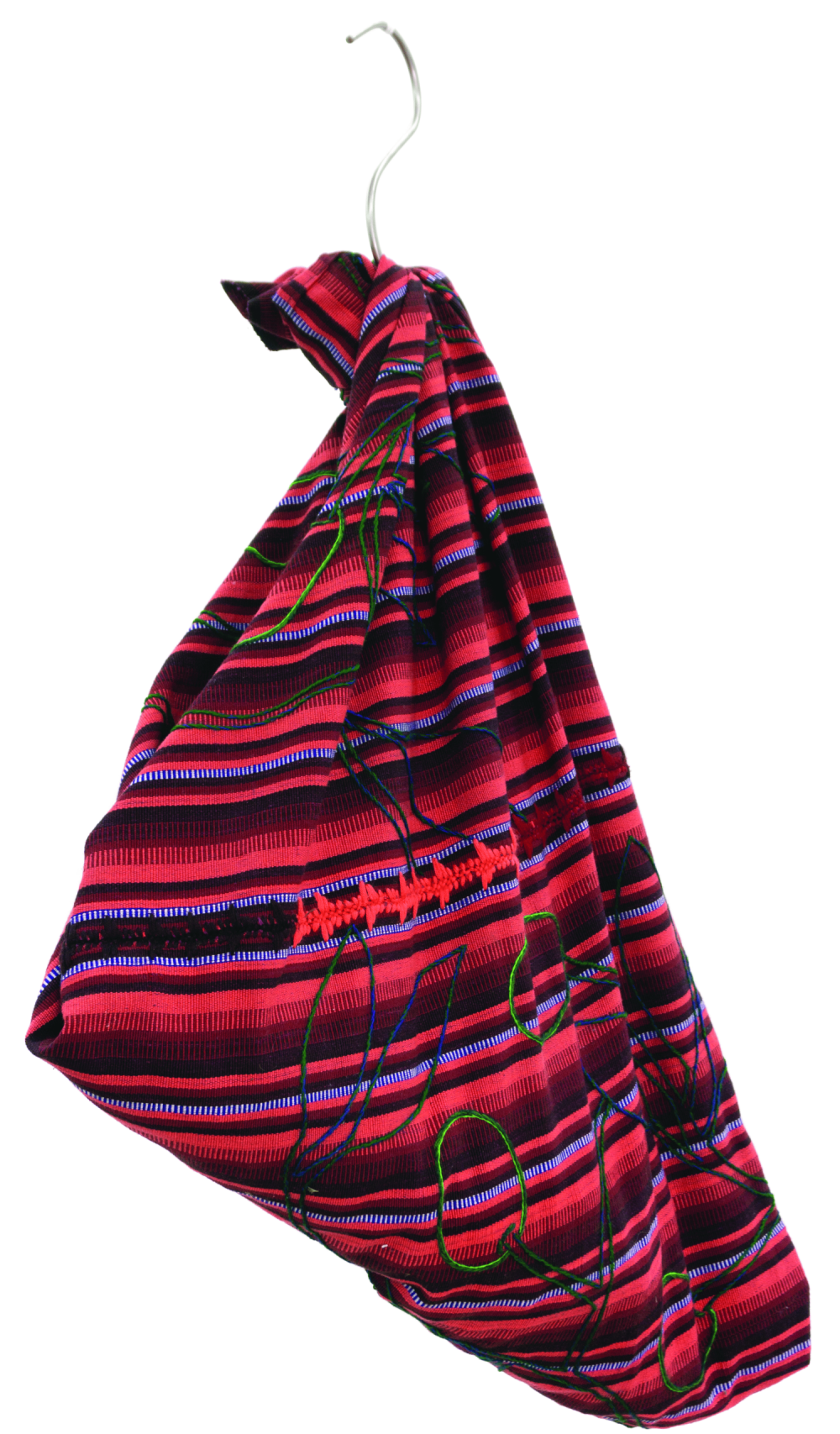
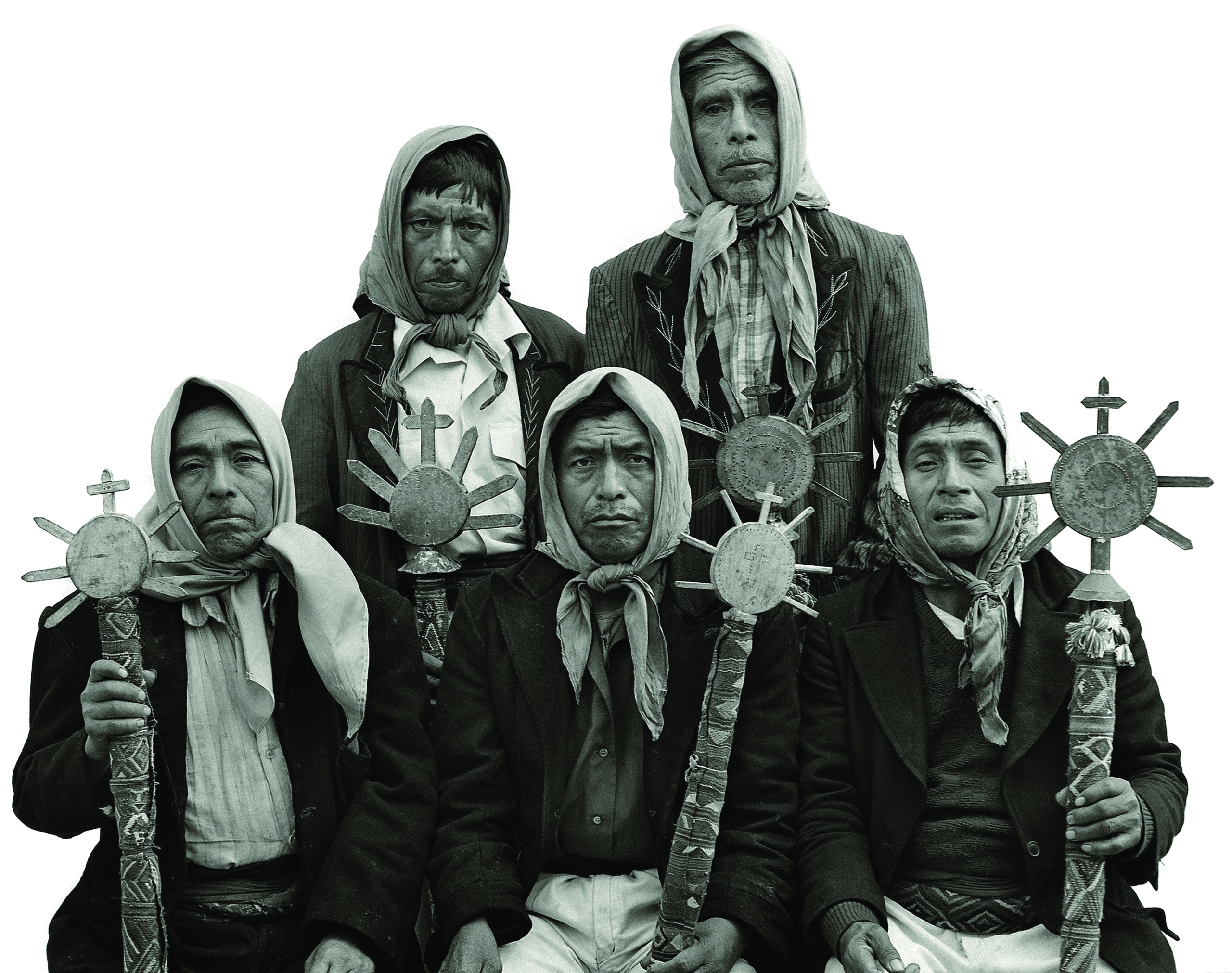
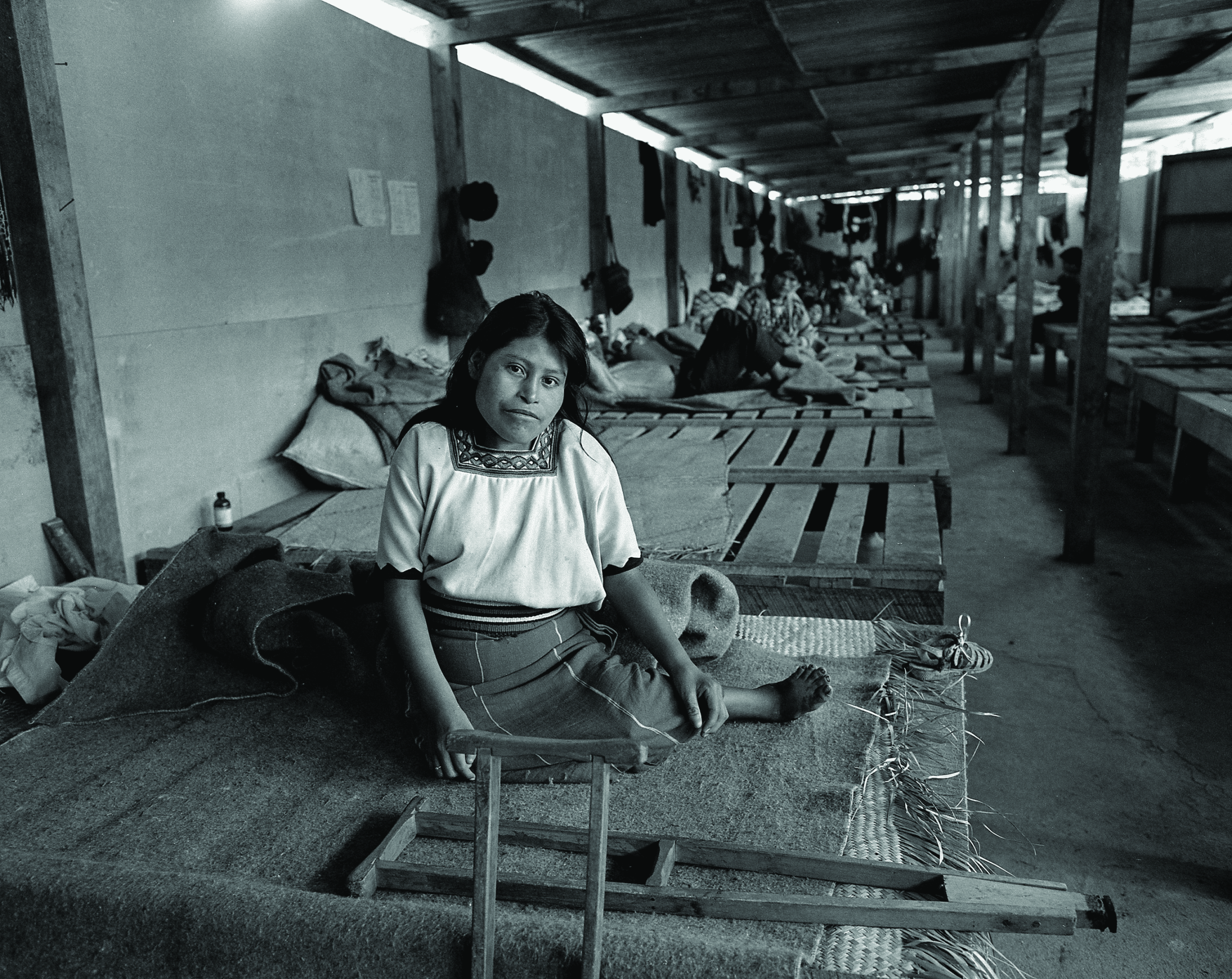
Furthermore, Guatemalan guerrillas and displaced populations generated their own geographical knowledge by navigating known and unknown territories out of the state’s sight, using ancestral and local wisdom, and moving through landscapes charged with social meanings, memories, histories, and non-human beings.
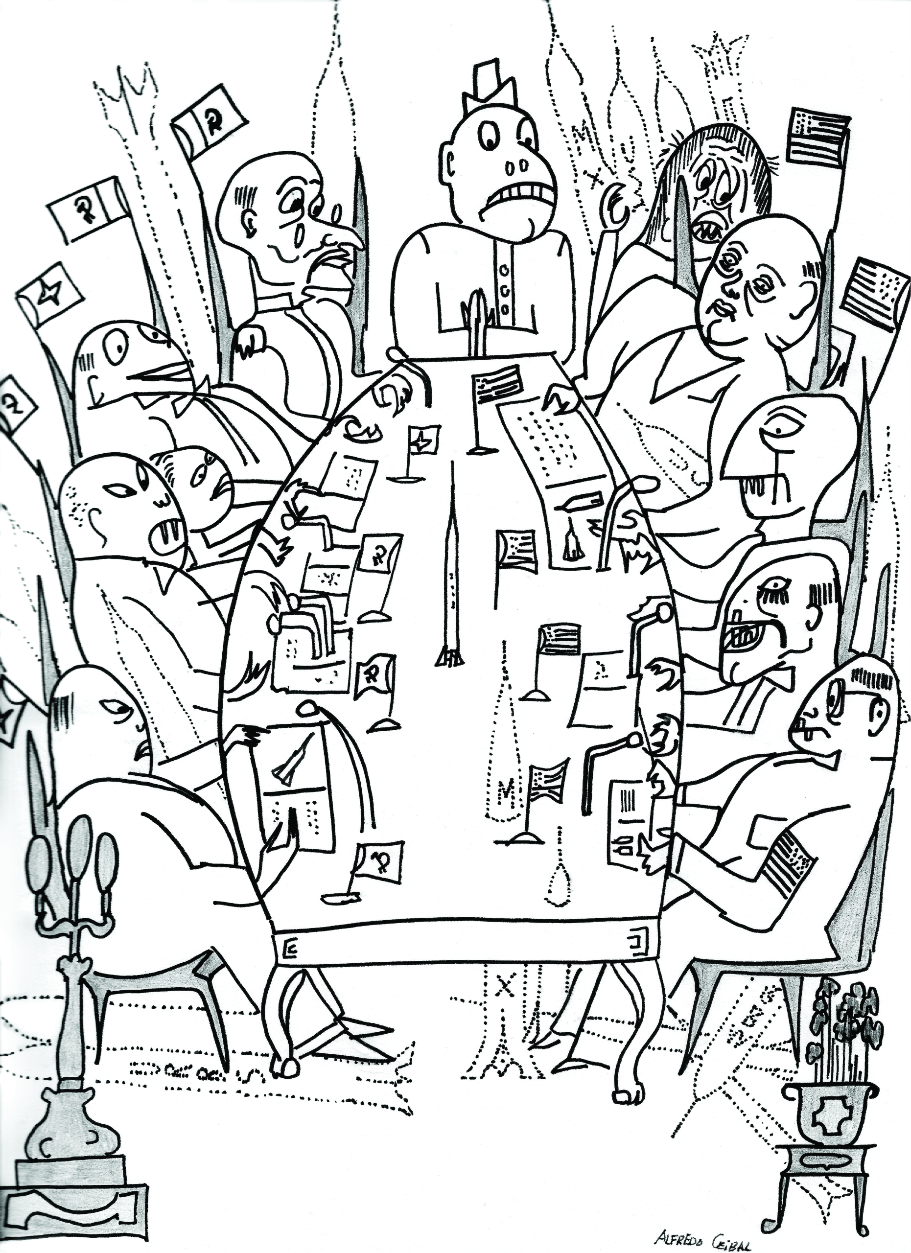
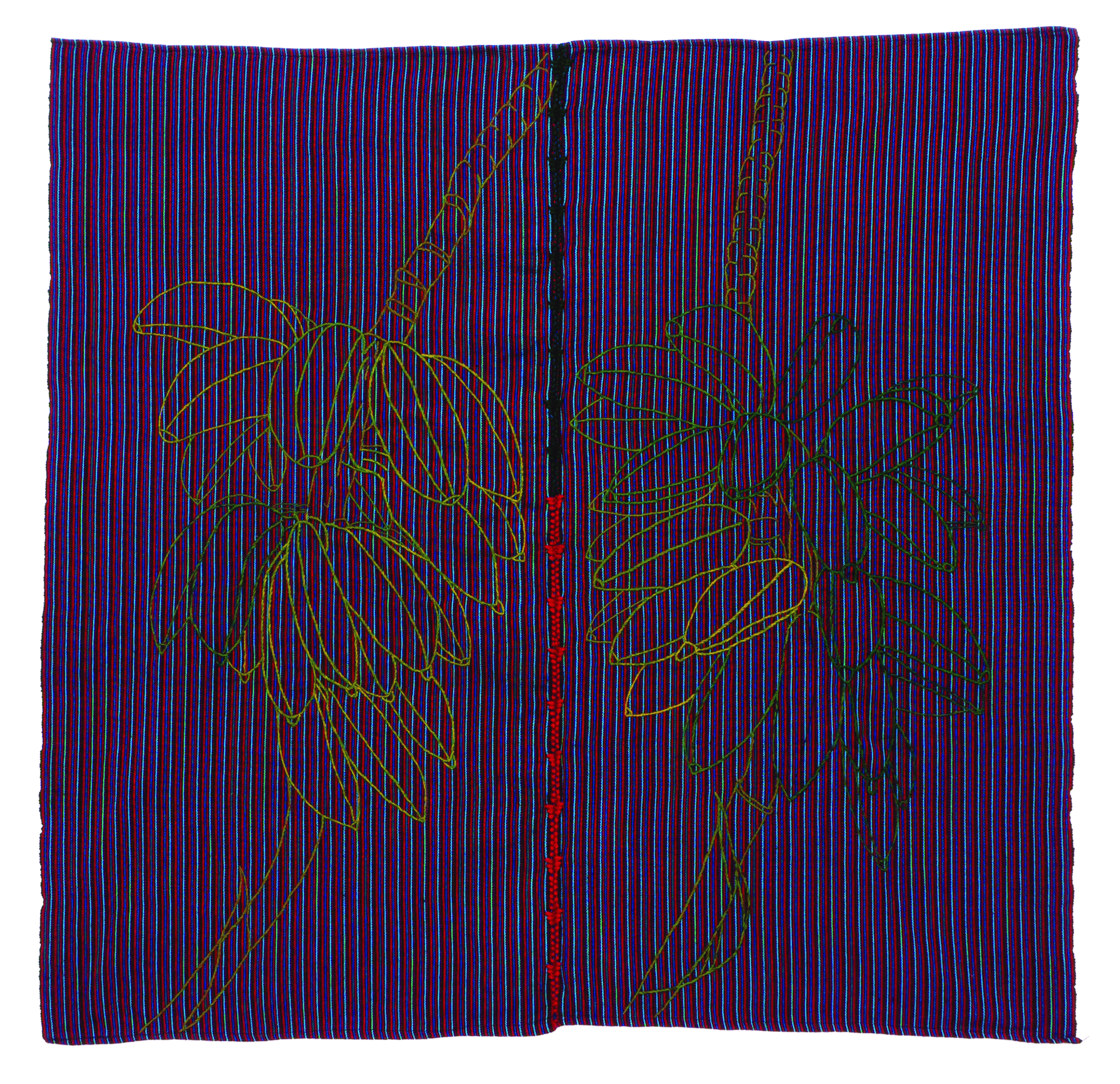
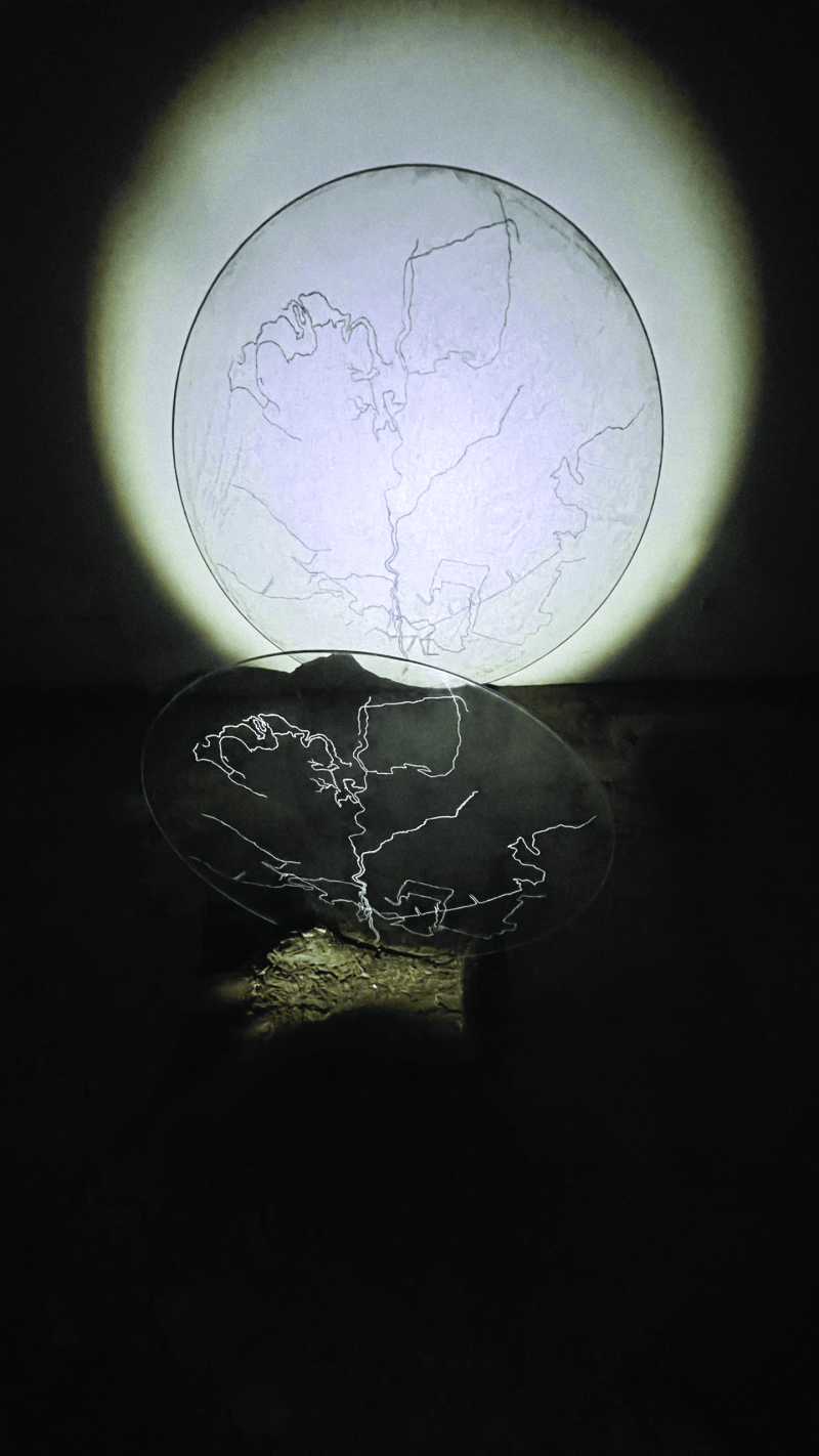
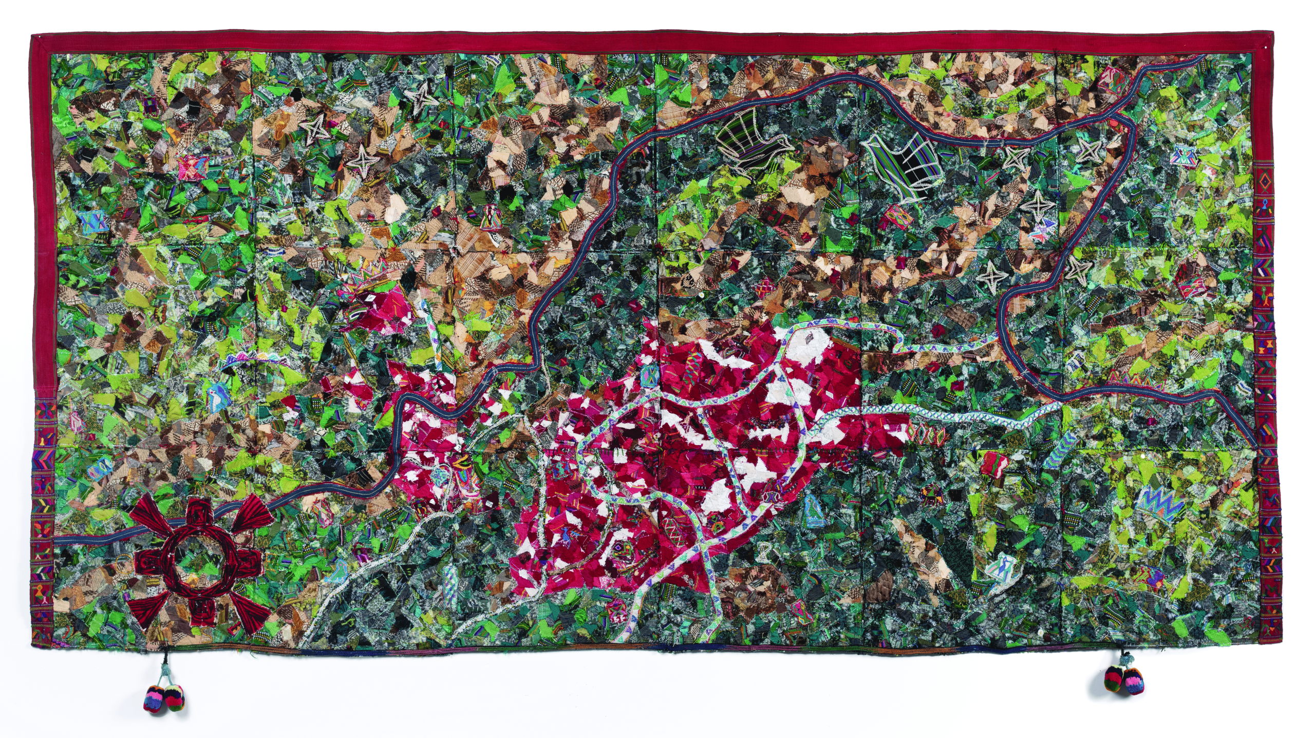
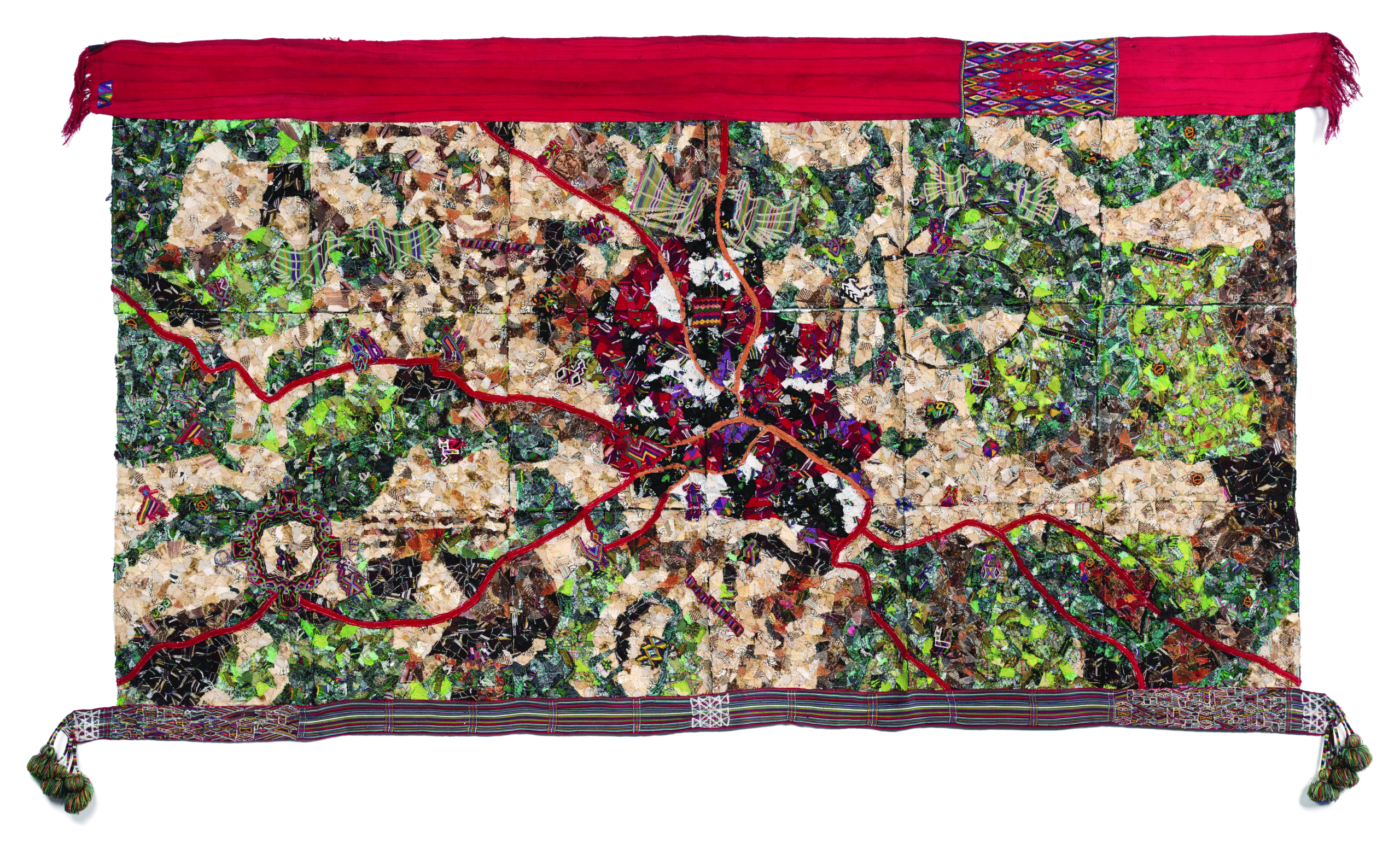
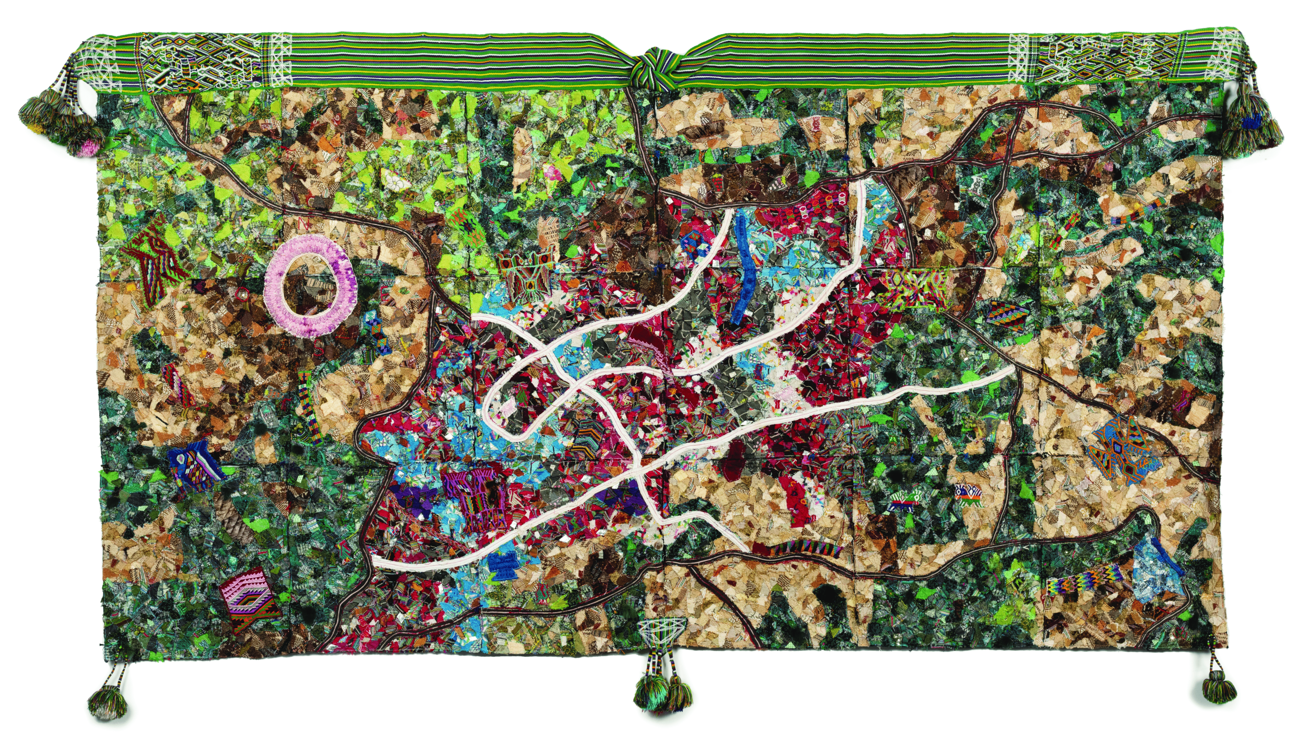
Through a selection of works by diverse artists and historical archives, the exhibition demonstrates how cartographic lines did not merely express the configuration of geographical space; they served as tools of power, control, and surveillance on one hand, and of resistance and confrontation on the other, within the context of geopolitical conflict.
The curatorial approach proposes a journey where maps reflect a discursive imposition of state power—with evident international influence and military control—while also generating scenarios for social struggles.
From strategic plans used by the state to artistic interpretations that resignify borders and territories of memory, the exhibition invites viewers to question official narratives and discover, from often invisible margins, other forms of spatial representation with their own identities and meanings.
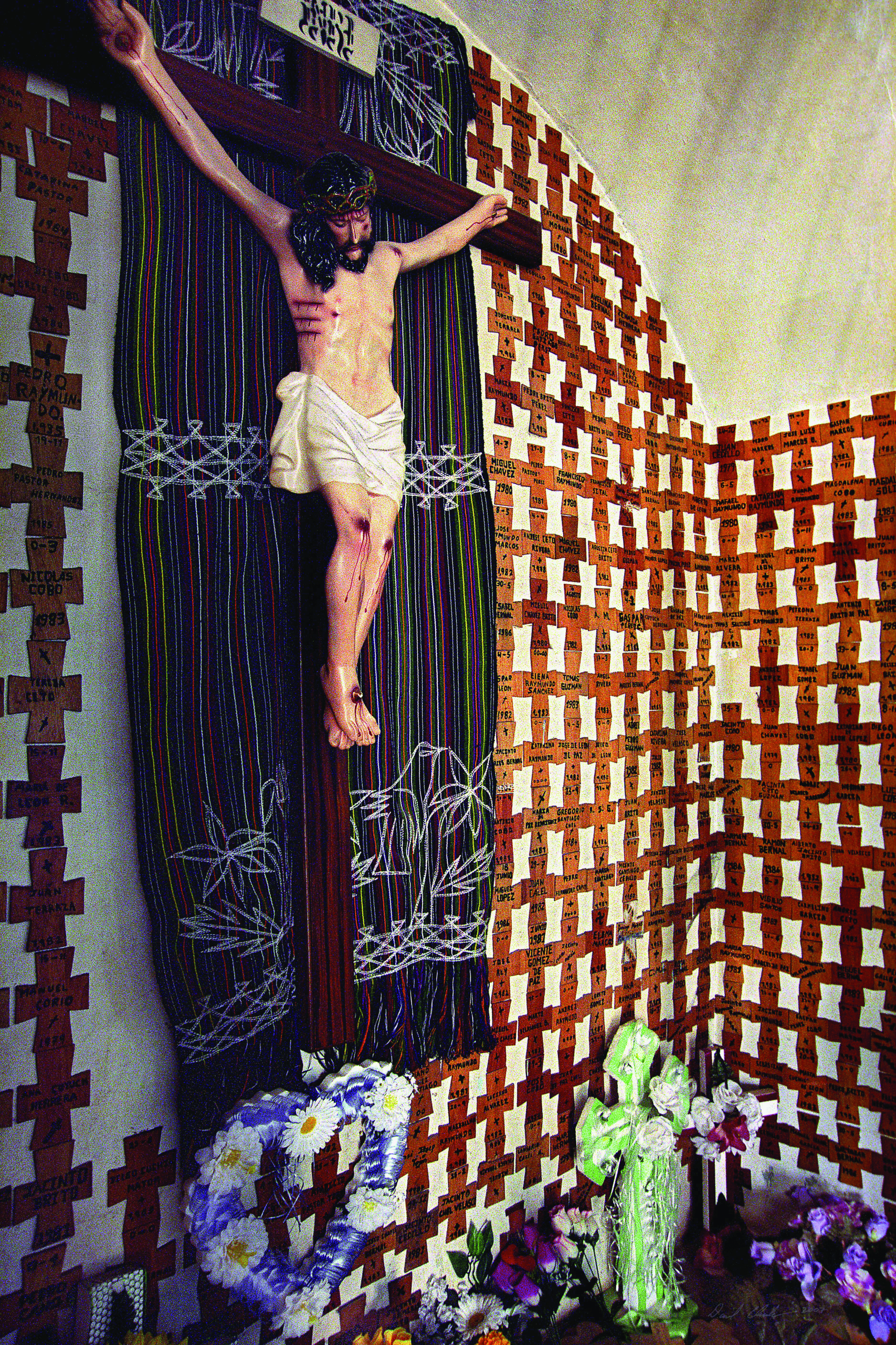
The artworks highlight how the Cold War was fought not only in political and military realms but also through the language of territorial representation, involving overlapping economic, cultural, and social interests. The works invite reflection on the continuities and transformations in the construction of territory and memory in Guatemala.
This exhibition reveals the different layers of meaning that maps and spatial representations can hold. It invites us to contemplate how the Cold War configured a geography full of tensions, where the visible and invisible intertwine, aiming to construct a more complete and nuanced narrative of the history of violence.
Through art, history, and testimony, the exhibition alludes to the complexity of the Guatemalan territory and its recent history, seeking to open new paths for understanding and reinterpreting space, and recognising the wealth of diverse voices that constitute an essential part of the country’s identity and memory.
Explore the exhibition further through our online exhibit tour, and consult the accompanying catalogue for additional context and reflection.